

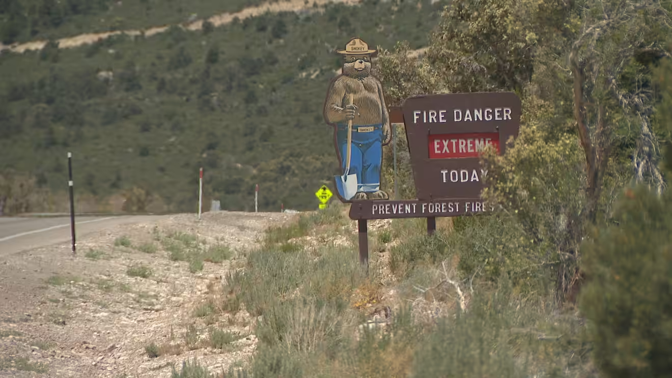
We’ll start the week with a heightened fire danger with dangerous heat later this week.
Mostly sunny skies are expected today, with winds picking up once again. High temperatures will reach 98 degrees in Las Vegas, with south winds of 10-20 mph and gusts up to 30 mph.
A RED FLAG WARNING is in effect from 10 a.m. to 9 p.m. for gusty winds and dry conditions — meaning any fire that ignites could spread rapidly.
Winds are estimated at 20-25 mph with gusts reaching around 40 mph at times, and relative humidity sitting between 5% and 15%.
Air quality is rated “good” to “moderate” for dust and tree pollen. The most common pollens include juniper, cedar, willow, sycamore and palm.
TONIGHT
Variable clouds are expected this evening, with skies transitioning from mostly cloudy to mostly clear overnight.
Wind gusts will ramp up again before midnight, with gusts of 30-40 mph possible downslope of the Spring Mountains in the west valley. Elsewhere, gusts will reach 20-30 mph before breezes eventually ease to 5-15 mph overnight. Valley lows will drop to around 74 degrees.
WHAT’S NEXT
Las Vegas has now gone 109 consecutive days without measurable rain.
No rain is on the horizon — though for perspective, June is the driest month of the year in Las Vegas. Here’s hoping for a more active monsoon season ahead.
High pressure is building, pushing temperatures 5-10 degrees above normal. Highs will climb to around 108 degrees in Las Vegas by Friday — the last time the city hit 108 degrees was August 20th of last year.









Leave a Reply