

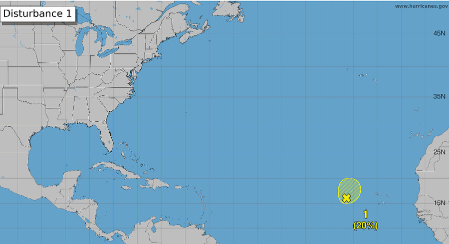
Meteorologists at the National Hurricane Center are keeping an eye on a broad low‑pressure area in the eastern tropical Atlantic. While it could dump heavy rain on parts of the Cabo Verde Islands, it doesn’t threaten the United States at this time.
The disturbance sits a few hundred miles west of the archipelago, spawning a sprawling band of disorganized showers and thunderstorms that stretch southwest across the basin.
Forecasters say environmental conditions will stay just marginally favorable for modest development over the next day or two. After that brief window, stronger upper‑level winds should roll in and likely quash any chance for further organization.
The Hurricane Center estimates a low 20 percent chance of tropical development in the next 48 hours, with the same odds persisting over the coming week.
Moving slowly north‑to‑north‑northwest, the system may or may not spin up into a tropical depression or named storm. Regardless, forecasters warn that heavy rain could fall across sections of the Cabo Verde Islands in the next few days, raising the risk of localized flooding.
At present, the disturbance poses no threat to Florida or the broader U.S. mainland. This update arrives just days after Hurricane Isaias made landfall along the Gulf Coast, knocking out power and causing widespread damage throughout Florida and the Southeast.







Leave a Reply