A wet weather pattern is expected to persist across western Oregon through midweek, bringing steady rain to valleys and significant snowfall to the Cascades.
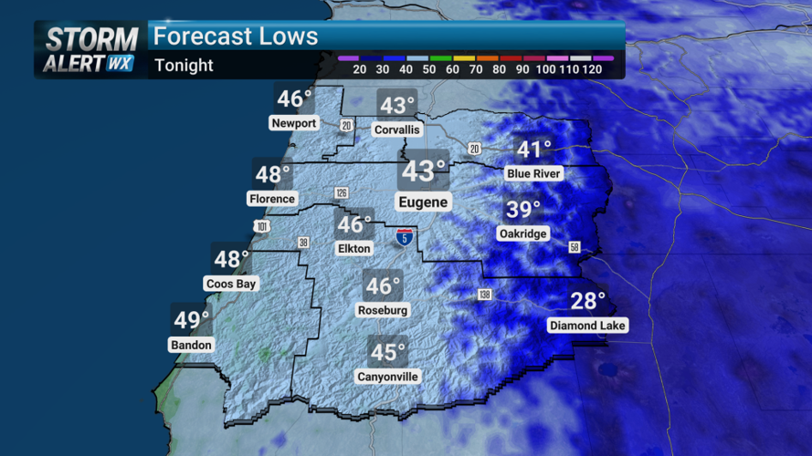
Rain is likely tonight across the Willamette Valley and Umpqua Basin, particularly in southern portions of northwest Oregon, as a cut-off low pressure system approaches from the Pacific. The heaviest showers are forecast from Lincoln, Polk and Marion counties southward.
Most areas are expected to receive less than half an inch of rain by Monday morning. However, Lane County could see higher totals — potentially between 0.70 and 1 inch — if heavier showers develop.
A brief break in the wet pattern is anticipated Monday as transient high pressure builds in, bringing slightly warmer temperatures and drier conditions. Some light precipitation may linger over the Oregon Coast Range and the Cascade Range.
Another, more robust weather system is expected to arrive Tuesday, delivering widespread rain to the coast by morning and spreading inland by afternoon. Dry conditions will end by Tuesday evening, with substantial rainfall likely Wednesday.
From Tuesday morning through Thursday morning, rainfall totals could exceed an inch along the coast and in higher elevations of the Coast Range and Cascades.
Snow levels in the Cascades are forecast to drop to between 3,500 and 4,500 feet Wednesday. Significant snowfall is possible at Santiam Pass and Willamette Pass, where accumulations of 6 inches or more could occur.
Travelers planning to cross the Cascades midweek are urged to check road conditions and carry emergency supplies.


Leave a Comment